Natural Medium:
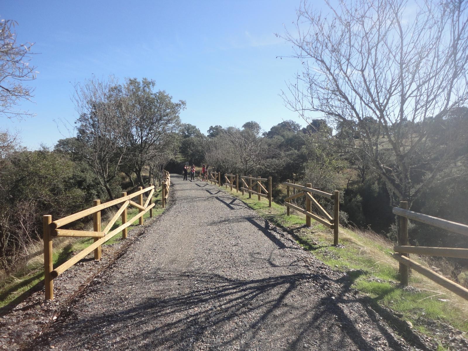
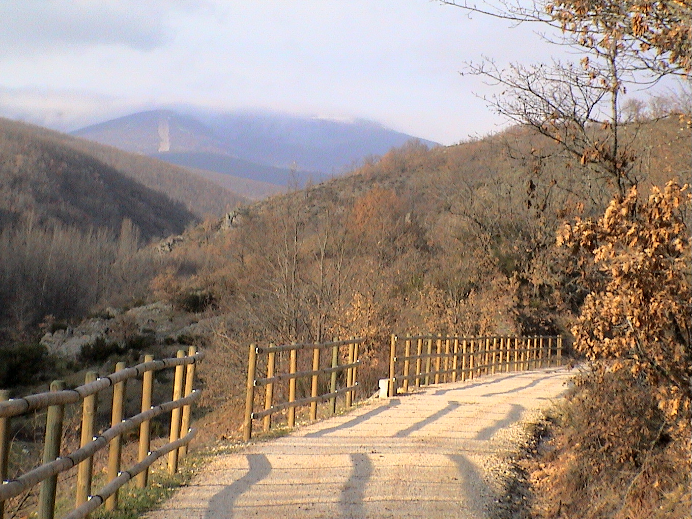
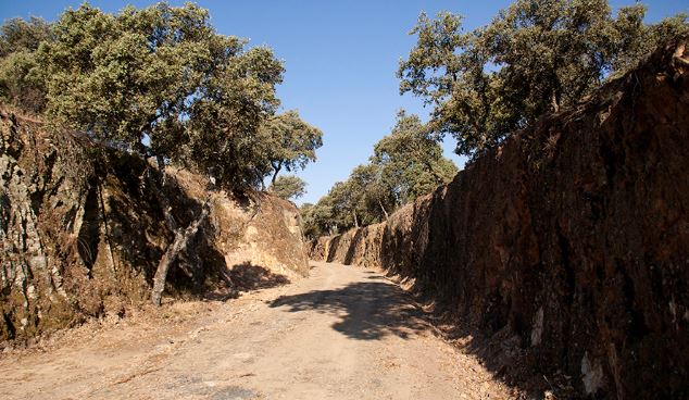
Oakwoods and soft hills. Its western end is of mountain nature: a mountainous environment where more varied vegetation proliferates (olive tree, strawberry tree, mastic, rockrose, pine, cork oak ...). It has a length of 14 km and low difficulty.
The route begins in the Plaza del Duque de Béjar, a historical figure of reference in Villanueva del Duque because, in turn, it bore the title of Conde de Belalcázar, the county to which the town belonged. From here we must take Allozo street, until Plaza de Santa Bárbara and, continuing along San Juan Bautista street, we will begin our route along the Camino de Villanueva to El Soldado; but before leaving the town we can visit the Museum of Antigua Molina, dedicated to oil.
Villanueva del Duque seen from the viewpoint of San Gregorio Once on the aforementioned road we will reach the Hermitage of San Gregorio, which has a magnificent viewpoint from which we can see much of Los Pedroches and the landscape that will accompany us on our route: fields of rain-fed crops, interspersed with small olive groves and, almost at the end, the meadow.
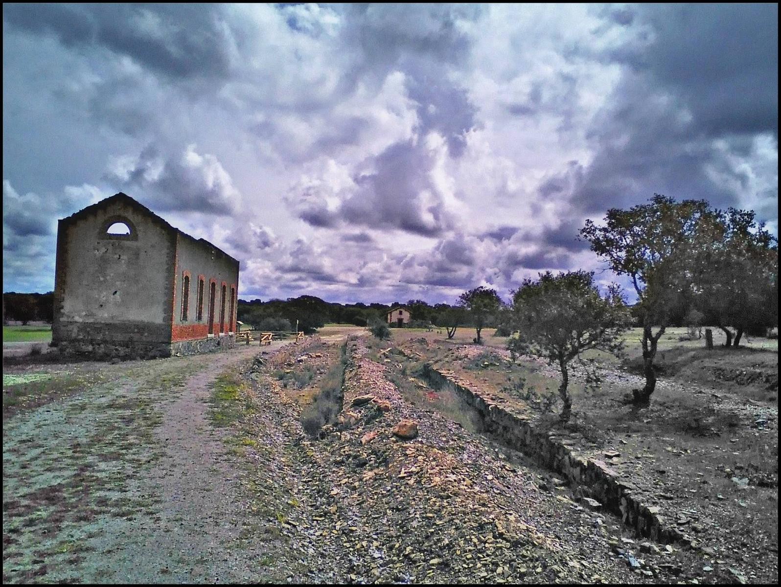
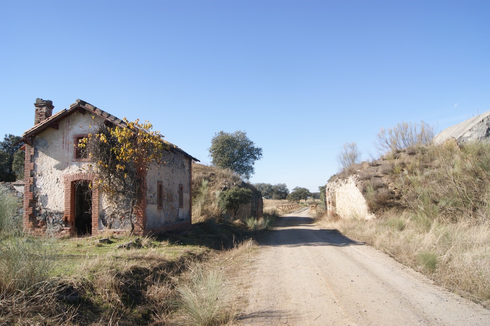
Old station El Soldado Past the hermitage, and before the first kilometer, we will take a deviation to the right, the Camino de Carreteros and, after about 400 meters, we will continue along the Camino de Cañada de la Jara. This last one will lead us, again, to the Villanueva Road to El Soldado, through which we will arrive at the old El Soldado Station, now completely restored. Here begins the Greenway of Mining; It is time to contemplate the remains of what was an important mining complex.
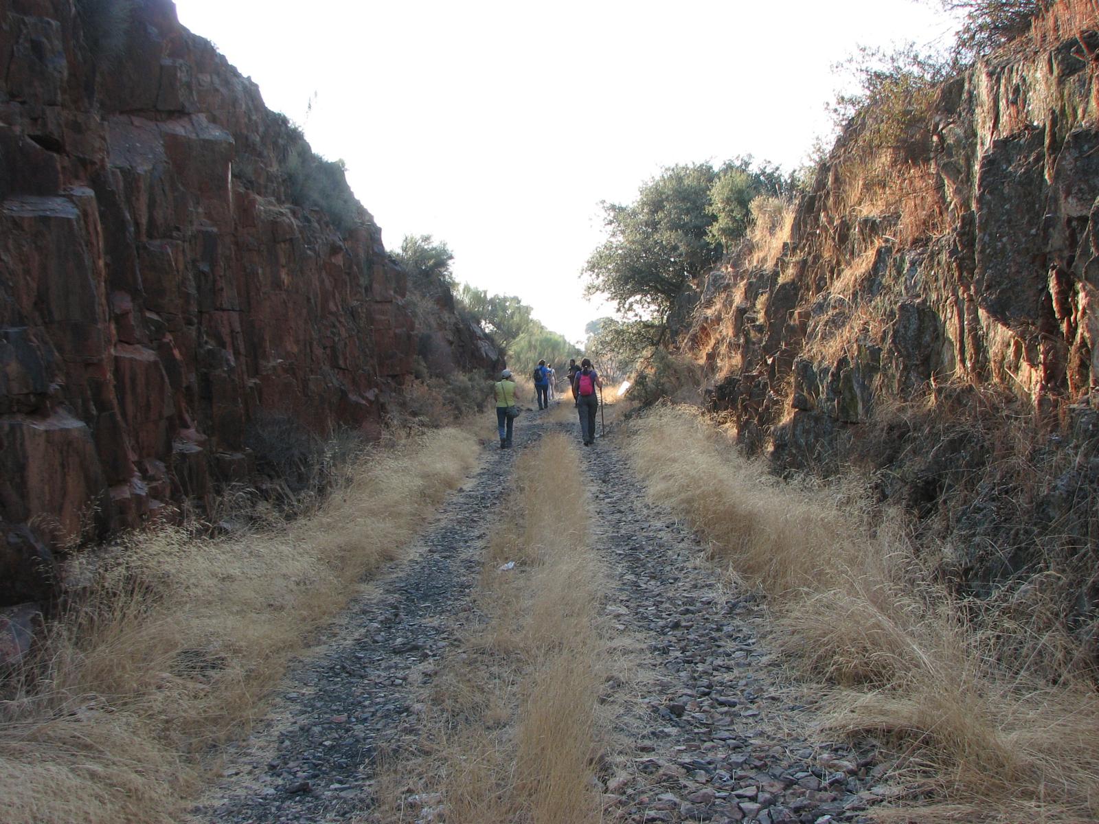
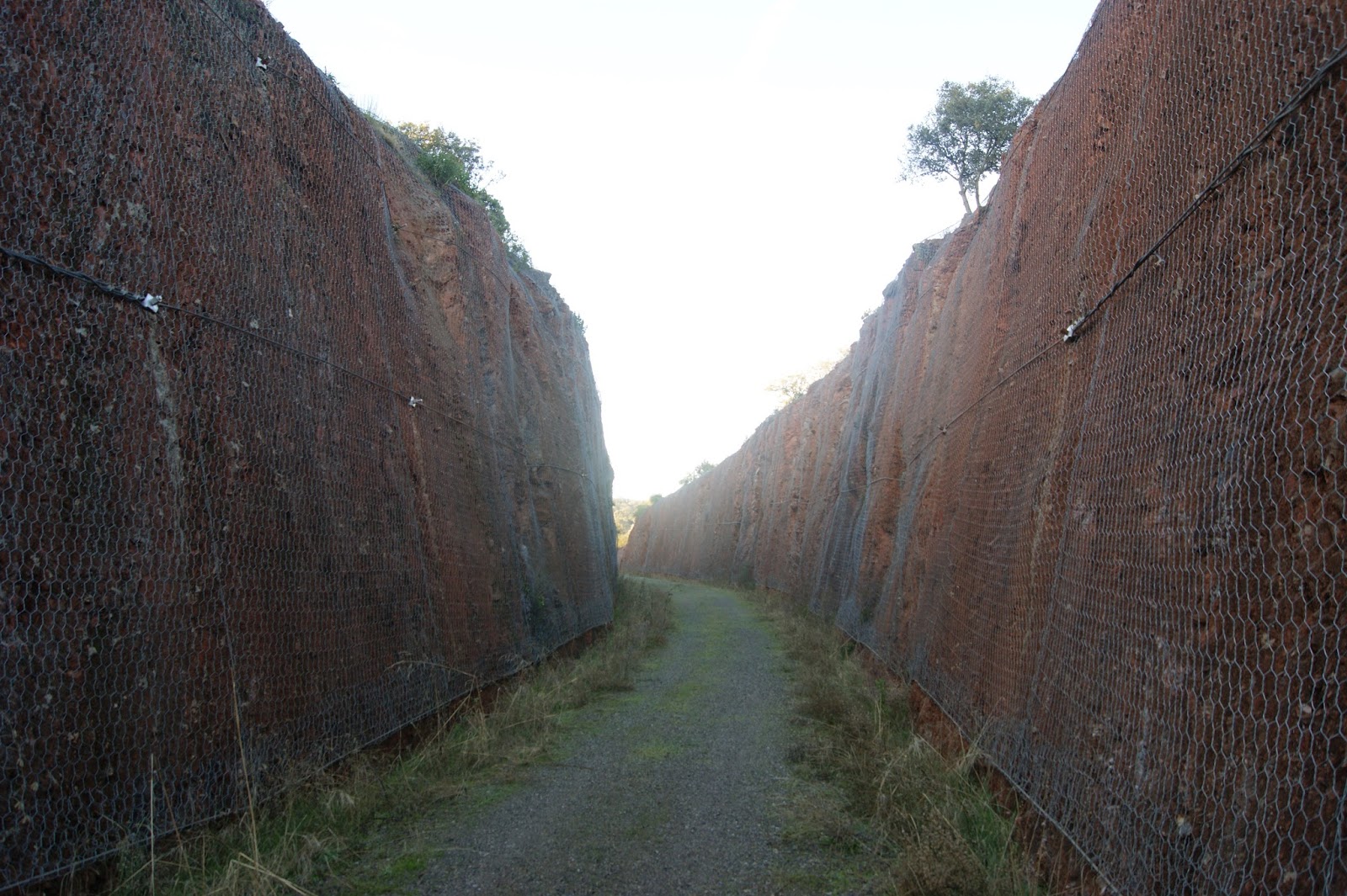
For a little over two kilometers, we will continue along the Mining Greenway, which was part of the old railway line that linked Puertollano, in Ciudad Real, with Fuente del Arco, in Badajoz. Shortly before kilometer six, we will leave the Vía Verde to resume, again, the Camino de Carreteros and, shortly after, take the Camino de Hinojosa, crossing, approximately at kilometer seven of the route, the A-430 road.
The last kilometers of the route runs along the Camino de la Dehesa, which crosses the Boyal Dehesa of the municipality and takes us back to Villanueva del Duque, after crossing the Lanchar stream by the known as Puente Juncoso.
LOCATION
Between the old El Soldado station (Villanueva del Duque) and the Villanueva del Duque-Bélmez municipal boundary.
Cordoba.
Municipalities: Villanueva del Duque and Hinojosa del Duque.
Length: 14.6 km.
User profile: ![]()
![]()
Level of accessibility: The old railway platform has not been recovered in the intermediate section that runs through the municipality of Hinojosa del Duque (4 km). To give continuity to the Vía Verde, an alternative road has been clearly signposted and firm well conditioned, but with some ramps of moderate unevenness.
Type of firm:
Earth and gravel compacted.
How to get:
Bus: Auto Transportes López. Córdoba-Villanueva del Duque-Hinojosa del Duque Line.

0 Reviews